Mapping Cultural Circuits
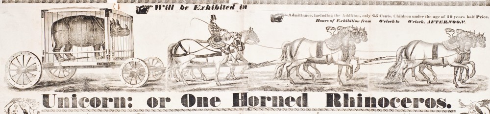
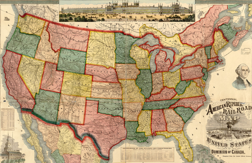
These digital projects center on integrating historical records with Geographic information system (GIS) technology to plot and analyze the movement of people, and by proxy culture, around the United States and the world. Using the Google Fusion API, users can map and visualize historical and geographic information in innovative ways that generate new insights into American cultural history. This work is an outgrowth of my interest in transnational touring circuits used by U.S. and international entertainers in the nineteenth century. In the course of my dissertation research, I assembled an extensive database tracking the principal minstrel troupes, circuses, magicians, thespians, &c. that toured through the Pacific circa 1850-1900. I have also looked at domestic touring routes for early American circuses and mapped the way popular entertainment venues evolved in nineteenth century New York City.